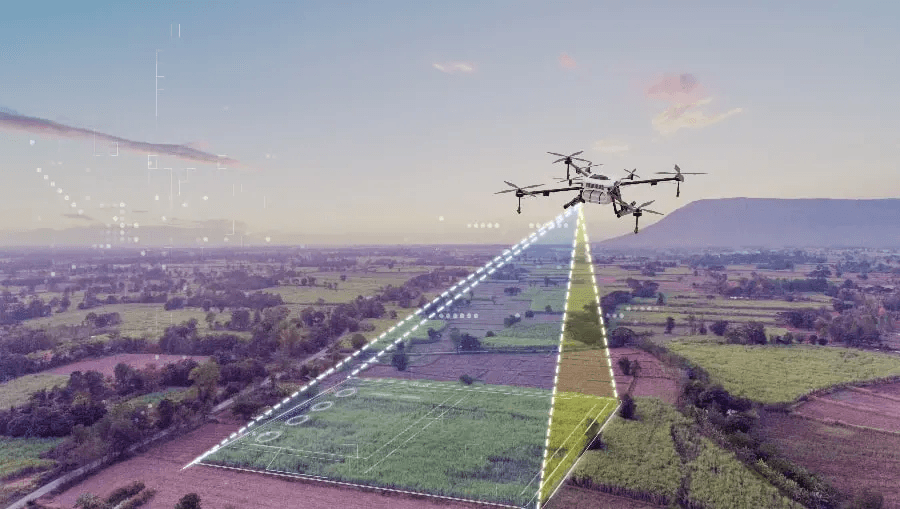
Drone, Photogrammetry & 3D Spatial Engineering
End-to-end UAV survey operations and photogrammetric processing workflows. Point cloud generation, 3D mesh modelling, orthomosaic production, and volumetric analysis.
Drone & Photogrammetry
Airfree Geospatial operates end-to-end UAV survey programs from flight planning and regulatory compliance through to final deliverable production. Our photogrammetric workflows produce survey-grade spatial outputs: point clouds, 3D meshes, orthomosaics, digital surface and terrain models. Every dataset is validated for geometric accuracy and delivered with full metadata and processing reports.
Why Photogrammetry
Traditional ground survey methods are slow, expensive, and often dangerous for inaccessible or active infrastructure sites. UAV photogrammetry achieves comparable spatial accuracy at a fraction of the cost and time, with the additional capability of producing three-dimensional outputs — point clouds and surface models — that ground surveys cannot efficiently deliver.
What We Deliver
UAV Survey Operations
CASA-compliant UAV survey flight planning and execution. Site risk assessment, airspace authorisation, ground control point placement, and systematic coverage flight patterns for photogrammetric acquisition.
Point Cloud Generation & Classification
Dense point cloud production from photogrammetric image matching. Automated and manual classification of ground, vegetation, building, and infrastructure points. LAS/LAZ format deliverables.
Orthomosaic Production
High-resolution orthophotography production. Geometric correction, colour balancing, and GeoTIFF export at specified GSD. Suitable for cadastral, construction progress, and environmental monitoring applications.
Digital Surface & Terrain Models
DSM and DTM generation from photogrammetric point clouds. Contour extraction, slope and aspect analysis, and cut/fill volume calculations for earthworks and hydrology applications.
3D Mesh Modelling
Textured 3D mesh models for infrastructure inspection, heritage recording, and BIM integration. OBJ, FBX, and Cesium 3D Tiles format export for web visualisation.
Volumetric Analysis
Stockpile volume measurement, cut/fill analysis, and change detection between survey epochs. Accurate to sub-percent volumetric tolerance when combined with RTK ground control.
Request a Capability Statement
Contact our team to discuss your project requirements and receive a tailored capability statement for procurement purposes.
Request Capability Statement