
Enterprise Geospatial Services
Seven specialised service domains covering the full spectrum of spatial intelligence.

Enterprise GIS & Spatial Infrastructure Systems
Design, deployment and management of enterprise-grade spatial data infrastructure. PostGIS database architecture, GIS server deployment, and end-to-end spatial data lifecycle management.

Digital Mapping & Web GIS Platforms
Development and deployment of interactive web-based GIS platforms and geospatial dashboards for institutional decision-support environments.
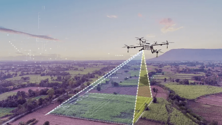
Drone, Photogrammetry & 3D Spatial Engineering
End-to-end UAV survey operations and photogrammetric processing workflows. Point cloud generation, 3D mesh modelling, and volumetric analysis.
Remote Sensing & Satellite Analytics
Satellite imagery analysis, multispectral classification, change detection, and ML-driven land analysis across large geographic extents.
Infrastructure & Utility Spatial Systems
Geospatial systems for utility networks, asset registers, and infrastructure planning. Network tracing and maintenance GIS for water, gas, and electricity operators.
Survey Data QA/QC & Spatial Standards
Quality assurance and standards compliance for surveyed spatial data. ISO 19100, ICSM, and ANZLIC-aligned data validation and metadata management.
Environmental & Ecological Geospatial Analytics
Spatial analytics for environmental monitoring, ecological mapping, and carbon accounting across regulated and natural environments.
Not sure which service applies?
Contact our team to discuss your project scope and we will identify the appropriate service capability and delivery approach.
Discuss Requirements